UAV navigation and real-time situational awareness
even without GNSS
At I-CONIC we create software supporting critical UAV missions. All our products are based on our innovative technology for real-time 3D reconstruction from drone video and images.
Our basic technology can be used for imagery from all types of platforms, but we focus video and images from drones. Our software uses GNSS information when available, but it can be applied even with missing or corrupt GNSS data, for example:
- Real-time 3D mapping (point clouds, orthos, etc)
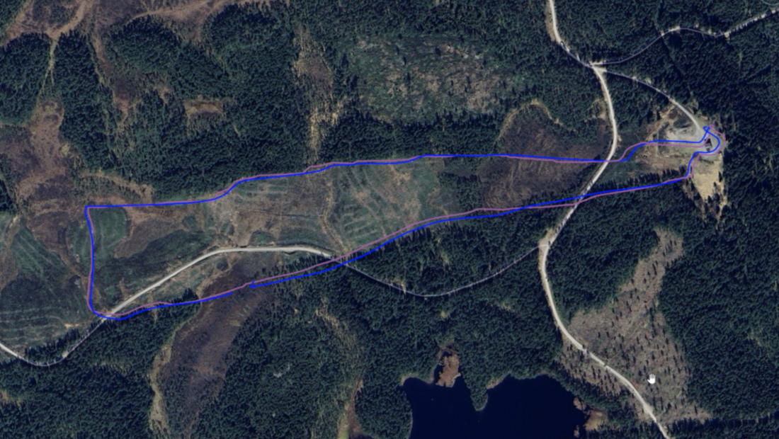
- Autonomous UAV navigation
- Immediate target geolocation
- Adding position metadata to videostreams with corrupted metadata
Our products are currently being developed together with different stakeholders, and provided as APIs. Please, contact us for more information about the status of the products.